Domestic violence is a terrible plague in communities worldwide, and in some areas, such as the South Pacific, as much as 50 percent of the population is affected. A group called Adventist Women’s Ministries has worked hard during the past two years to educate communities with the message that abuse is unacceptable in any shape or form.
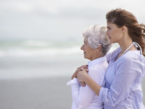
Victims can suffer at the hands of intimate friends, family members or spouses, and they live in daily fear for their safety and even their lives. They never know when they will be assaulted next or what behaviors or remarks might precipitate an incident. They spend their days believing that violence will happen and that they will be unable to prevent or avoid it.
Those who inflict violence on their partners come from every race, class, profession, age, geographic region and religious group. Abusers continue to abuse because society ignores, accepts or fails to prosecute their behavior. Historically, violence in the home has been overlooked because “domestic” situations were considered private. Friends, coworkers and even relatives may never witness or suspect violence in families because it only happens in the privacy of the home.
Of the 136 countries listed in the United Nation’s Gender Development Index, Papua New Guinea (PNG) ranks at just 124, placing it in the bottom 10 percent of countries worldwide where abuse occurs. Some 40 percent of the population lives below the poverty line. These statistics translate into a harsh reality for many women in PNG—two out of three have experienced domestic violence, and an astounding 50 percent have experienced rape.
With this in mind, Adventist Women’s Ministries has initiated a worldwide abuse prevention program called “End It Now.” The program has three main areas of focus: nurture, empowerment and outreach. It mentors younger women, encourages mothers, and supports older women as well as those who are hurting. This is exactly what the Adventist women in Port Moresby, PNG, are doing for their community.
As part of “End it Now,” Adventist women in Port Moresby are volunteering to do something tangible about the terrible statistics found in their country.
While educating those in their area on abuse prevention, the group discovered many women in their community who did not seek medical attention after experiencing abuse simply because they could not afford it. So the Adventist women approached some gynecologists and asked if they would be willing to examine women who had been abused. Dr. Kauri, a female doctor, accepted the challenge.
The abused women have been organized into groups, and each week the Adventist volunteers bring them to the doctor for a checkup. Sixty percent of the women visiting the doctor now receive treatment for various problems resulting from abuse.
Many of the women who go to Kauri have been raped by their husbands and are bruised in both body and soul. Many also suffer from sexually transmitted diseases because their husbands have multiple sex partners. Since more than 60 percent of the women being helped medically are also illiterate, they are encouraged to attend Adventist operated literacy schools (there are 182 such schools across PNG) so they can learn how to read and write.
Domestic violence, however, is not confined to developing countries like PNG. It continues to be a major issue facing families and individuals in every society around the world. But it only takes one person to start a good work in the community. Will you help end domestic violence now? Go to www.enditnow.org.
This article originally appeared in Signs of the Times magazine March, 2011.